Bay Ridge, Brooklyn
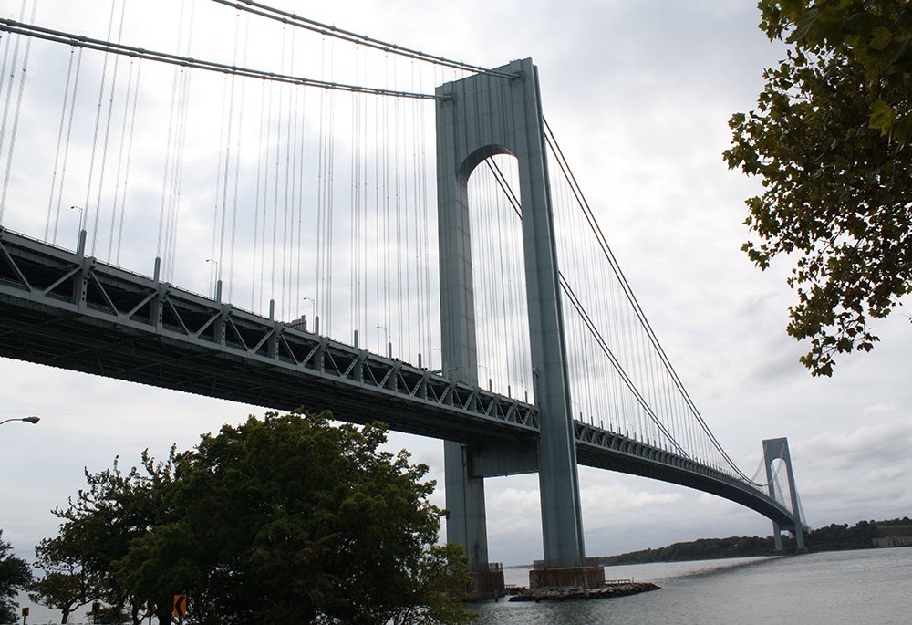
Purchased by the Dutch East India Company from the Nyack Native American tribe in 1652, this area was originally called Yellow Hook. The name derived from the yellow clay found in the soil in this region of Brooklyn. Due to recurring yellow fever epidemics in the mid-19th century, the name lost favor and was changed to Bay Ridge in 1853—a nod to its location by the bay and the terminal moraine created by receding glaciers thousands of years ago along what is now Ridge Boulevard. One of Bay Ridge’s original roads, currently named Stewart Avenue off of 72nd Street between 6th and 7th Avenues, is extant and remains unpaved, providing a glimpse of the neighborhood before the installation of the street grid. Bay Ridge played a role in the Revolutionary War, as the British troops utilized the Denyse Ferry Wharf for their landing to fight the Battle of Brooklyn on August 22, 1776, and for their evacuation at the end of the war in 1783. Built by a Dutch landowner who ran a ferry to Staten Island, remnants of the landing still stand today just south of the Verrazano-Narrows Bridge overpass.
After the Civil War, the magnificent views from the ridge overlooking the bay inspired the construction of extravagant mansions, which transformed the neighborhood into one of Brooklyn’s wealthiest suburbs by the end of the 19th century. Shore Road, which makes up the westernmost point of Brooklyn and profits from the best views of the bay, was particularly exclusive. On the current site of Fort Hamilton High School stood the Crescent Athletic Club, the center of Brooklyn’s fashionable society at the turn of the century. Completed in 1892, it featured athletic fields, tennis courts, a golf course, boathouse and magnificent Shingle Style clubhouse with a glass-enclosed dining room overlooking the bay. Visitors included Presidents Theodore Roosevelt and William Howard Taft, and aviators Wilbur and Orville Wright.
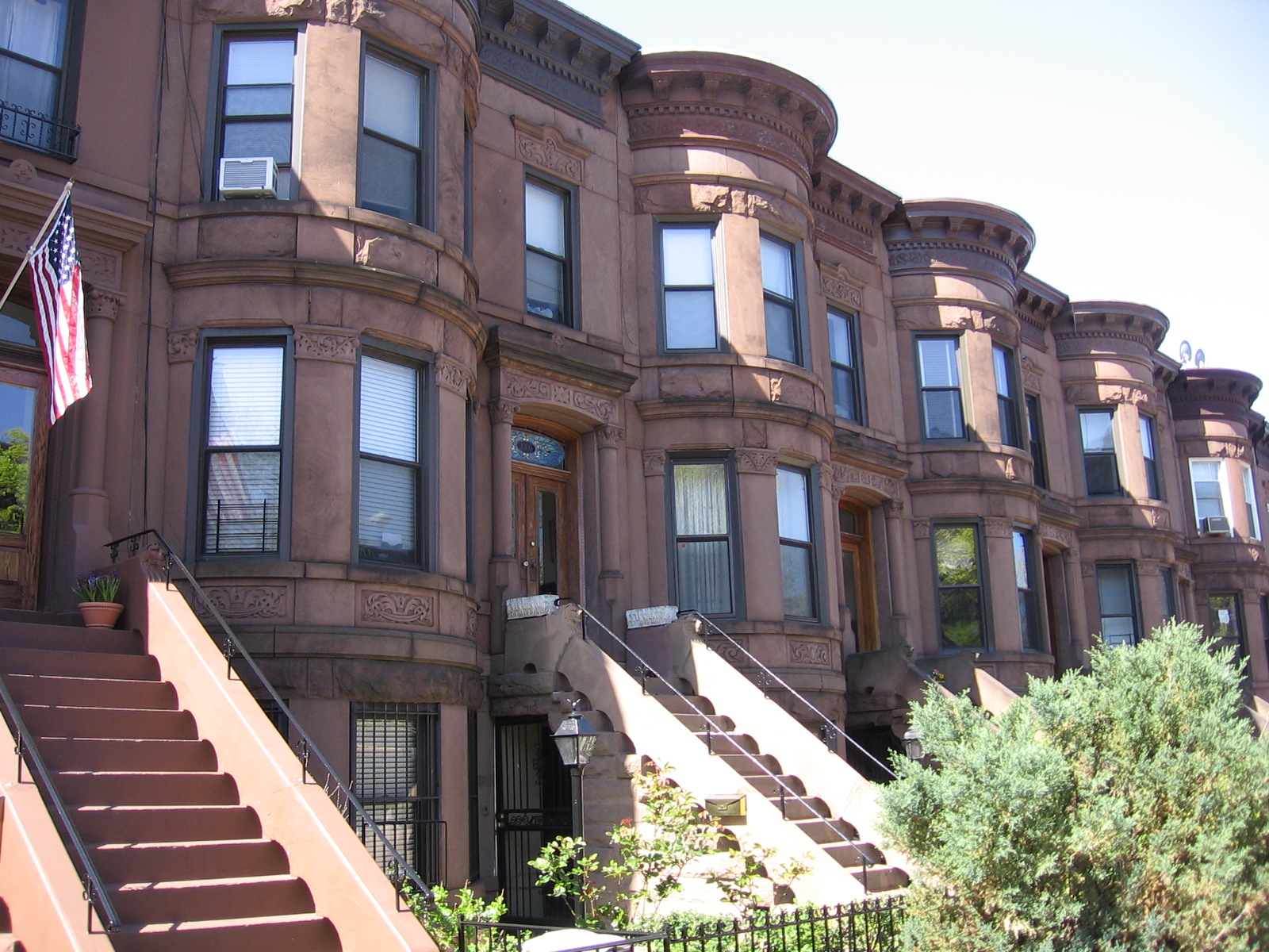
Due to the arrival of the 4th Avenue subway in 1916, the population of Bay Ridge doubled between 1910 and 1924. To accommodate this growth, many of the mansions were replaced with apartment houses and blocks of rowhouses. Commercial thoroughfares on 86th Street, 3rd Avenue, 4th Avenue and 5th Avenue transformed the neighborhood into a thriving urban community. In the early 19th century, the population was largely made up of Scandinavians and Italians. Over the years, Bay Ridge has also become home to Irish, Greek, Arab, Chinese and Russian communities, as well, rendering it a fantastic example of a neighborhood that thrives on different cultures living in close proximity to one another—a hallmark of the New York City experience.
Today, the richly varied architecture of Bay Ridge tells its story. The neighborhood is made up of vibrant commercial districts, uniform rowhouse blocks, historic wood frame farmhouses, Victorian mansions, magnificent places of worship, pre-war apartment buildings and quaint cul-de-sacs. It also benefits from several scenic parks, including Owl’s Head Park at the northwestern tip of the neighborhood, which commands views of the Bay. At the opposite end of Bay Ridge, on its southeast corner, lies Fort Hamilton, New York City’s only active military base. Named after Alexander Hamilton, the Fort functions as a military induction center and is home to more than 1,500 military personnel. In 1990, the Bay Ridge Conservancy was established to preserve, protect, and enhance the built and natural environments of the area. Their recent work includes the beautification of Third Avenue, one of Bay Ridge’s four commercial thoroughfares, as well as seeking landmark designations for a variety of public buildings, State & National Register of Historic Places listings for its cul-de-sac blocks, a National Scenic Byways designation for Shore Road, and advocating for the responsible renovation of the Belt Parkway, constructed in 1940.


Neighborhood Map
Neighborhood Sites
Related photos