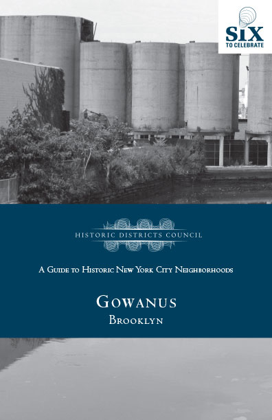
Gowanus, Brooklyn
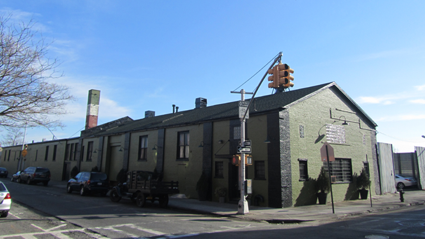
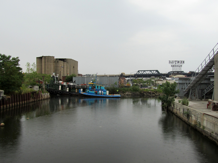
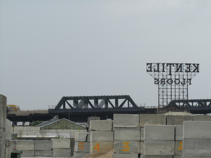
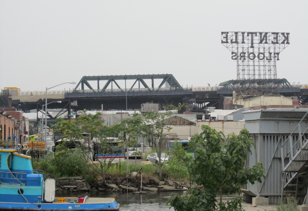
The Brooklyn community of Gowanus, centered around the Gowanus Canal, is largely made up of historic architecture directly related to the water route. Located between Park Slope and Carroll Gardens, it is considered part of Brooklyn’s industrial waterfront. The canal itself is 2.5 miles long, 100 feet wide, and stretches from Gowanus Bay in New York Harbor to Douglass Street. Unlike other industrial areas of the city, Gowanus was never densely built up, and much open space remains today. The structures that surround the canal are generally six stories or fewer, lending a low-scale, 19th-century character. This area continues to be mixed-use manufacturing with peripheral residential enclaves. Linda Mariano created FROGG (Friends and Residents of Greater Gowanus) to advocate for the protection of this industrial waterfront that she calles home. To read an interview with Linda about how being one of the Six to Celebrate aided her in her work click here.
Before the Gowanus Canal, there was Gowanus Creek. By 1840, industry was growing in Brooklyn, and the creek was enlarged and straightened for barge access to New York Harbor. New York State officially approved plans for the completion of the Gowanus Canal in 1866. The canal became the center of industrial growth in Brooklyn, and by 1880 there were 31 firms operating in different industries such as lumber, coal, hay, grain, oil and building materials along the canal. A decade later these industries expanded to include gas and electric utilities, which required coal and coke. Industrial development spurred residential housing surrounding the canal basin for canal workers.
The Gowanus Canal was most heavily used between 1900 and 1930. As industry and traffic increased, so did pollution. A flush tunnel was incorporated into the canal in 1911 in efforts to mitigate the heavy pollution caused by industry. Regardless, after World War I the Gowanus was the busiest—and most polluted—canal in the United States. The canal’s peak was in the 1920s, with an annual rate of 25,000 vessels per year serving more than 50 different manufacturers.
After World War II, use of the Gowanus Canal significantly declined. A drop-off in housing development after the war decreased the demand for building materials, a major industry of the canal, and the declining use of coal as an energy source also adversely affected business. Further, the completion of the Gowanus Expressway in 1964 replaced water transportation. As a result, active waterway sites at Gowanus decreased by 50% during this time period.
In its day, the Gowanus Canal was the center of industrial growth in Brooklyn and remains a spectacular piece of commercial infrastructure. It was the main reason that Brooklyn transformed from farmland to an industrial giant in the latter half of the 19th and early 20th centuries. Today the main canal remains completely intact, and over two-thirds of its walls are timber, dating to its initial construction. The design and materials of this waterway are remarkable, surviving examples of 19th-century engineering and construction. Additionally, remnants of industry dot the banks of the water, with much vernacular workers’ housing surviving as well.
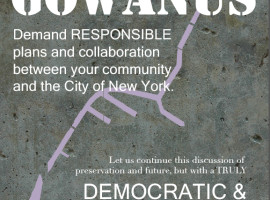
Historically one of New York’s most contaminated waterways, the Gowanus Canal area was designated as a Superfund Site in 2010. To protect the historic character of the neighborhood the local community is currently working to place the Gowanus Canal Corridor on the National Register of Historic Places so that its urban industrial character is preserved.

Neighborhood Map
Neighborhood Sites
Related photos