Long Island City, Queens
The westernmost portion of Queens remained predominantly rural and undeveloped until around 1870, when Long Island City was incorporated from the nascent industrial communities of Astoria, Blissville, Hunters Point and Ravenswood. The start of this area’s growth began when the Long Island Rail Road moved its main terminus from Downtown Brooklyn to the East River waterfront in Hunters Point in 1861. A decade later, the Steinway piano factory opened a new industrial complex and worker settlement in nearby Astoria, stimulating growth and establishment of infrastructure in the area. As Long Island City grew to become a regional transportation and population center, the Queens County seat was moved from Clowesville (in present-day Nassau County) west to Long Island City around 1874. In the last quarter of the 19th century, its waterfront became home to oil refineries, lumber yards, factories and chemical plants, while the city’s population tripled from 15,609 in 1875 to 48,272 in 1900.
After Queens was consolidated into Greater New York City in 1898, Long Island City’s connections to Manhattan were strengthened with the completion of the Queensboro Bridge in 1909. The elevated railway trains, trolleys, automobiles and pedestrians travelling across the bridge all converged at the new “Queensboro Bridge Plaza,” now known as Queens Plaza, which soon supplanted the rail yards of Hunters Point as the gateway to Queens. Transportation was further improved with the construction of the East River Tunnels and Sunnyside Yards in 1910, which provided Long Island Rail Road trains with a direct connection to Manhattan, as well as with the completion of new subway lines to Astoria and Corona by 1917. Banks and manufacturing firms soon gravitated towards this new central plaza, which became famous for the large electric signs that dotted the rooftops of its buildings, advertising products like Swingline Staplers, Chiclets and Pepsi Cola to travelers passing through. Hunters Point, on the other hand, saw its population peak in 1905 before starting a slow decline, becoming a primarily industrial area with the old brownstones and institutional buildings sitting in the shadow of the elevated trains rumbling past.
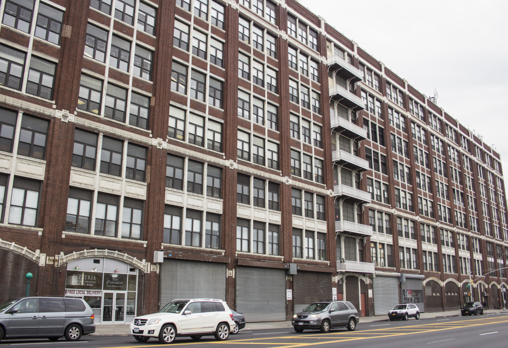
By the post-World War II era, shifts in transportation, industry and demographics spelled the end of Long Island City’s role as the center of Queens. Deindustrialization left many factories shuttered and the waterfront underutilized, while Queens' population growth and commercial activity was primarily concentrated farther east in the borough's more suburban neighborhoods. However, the empty warehouses, with open floor plans and ample lighting, prompted artists to move across the river as early as the 1960s, which led to the founding of institutions like the Noguchi Museum and P.S. 1 Contemporary Art Centre to secure their legacy. By the 1990s, corporations, including Citibank and MetLife, were moving to Long Island City in search of affordable office space and good transit connections, converting industrial buildings or building new structures like One Court Square, the tallest building in New York outside of Manhattan. Residential development along the waterfront began with the 1997 completion of the 42-story Citylights building, the first of several luxury residential towers along the East River that now vie for the best views of the midtown skyline. Although the neighborhood is in the midst of a large-scale transformation as development spreads outward from the subway stations and the waterfront, remnants of Long Island City's past anchor this dynamic place to its roots and serve to keep its history alive, making it an appealing place to both live and work.