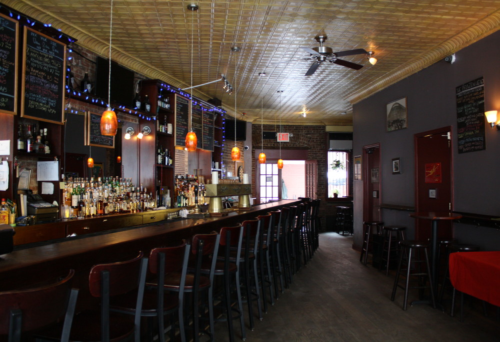
Red Hook Lane property line
Viewable inside 228 Atlantic Avenue
Red Hook Lane was a Native American trail that became a major artery through the center of Brooklyn beginning in 1760. It was a key route for the Continental Army during the Revolutionary War, especially during the Battle of Brooklyn in 1776. The trail eventually fell prey to the imposition of the street grid. Remnants of the Lane survive, including a block-long alley south of the Fulton Street Mall, between Adams and Smith Streets, as well as ghosts of the Lane’s configuration at 234 State Street and here at 228 Atlantic Avenue. The odd angle of the building, most prominently viewed by stepping inside to see the diagonal orientation of the tavern, reveals the original property line. The city officially de-mapped Red Hook Lane, making this building’s orientation all the more noteworthy to the neighborhood and the city.
